Moderate Mondays are an “all-surface” or “gravel-ish” no-drop GROUP ride. Find out more on the ride PAGE.
07/14/2025 - Speedy Group of Three
Report by Travis
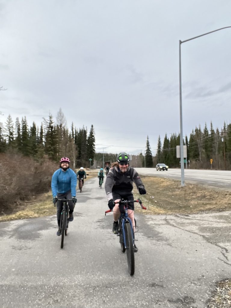
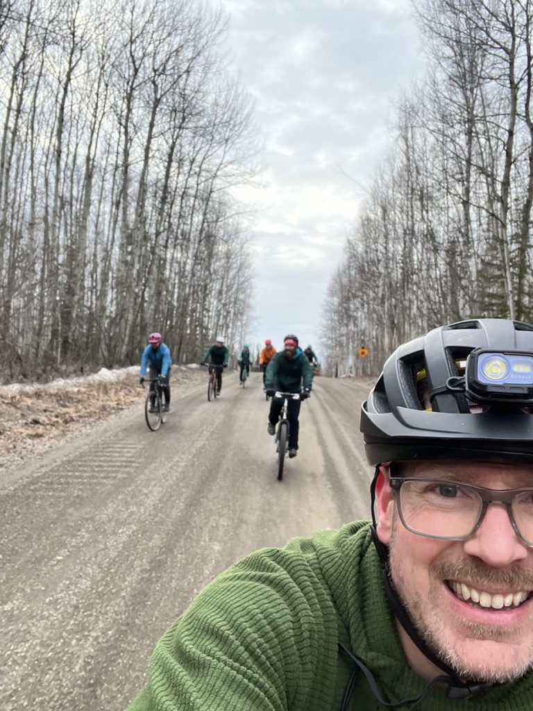
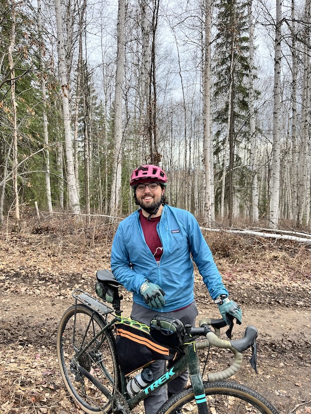
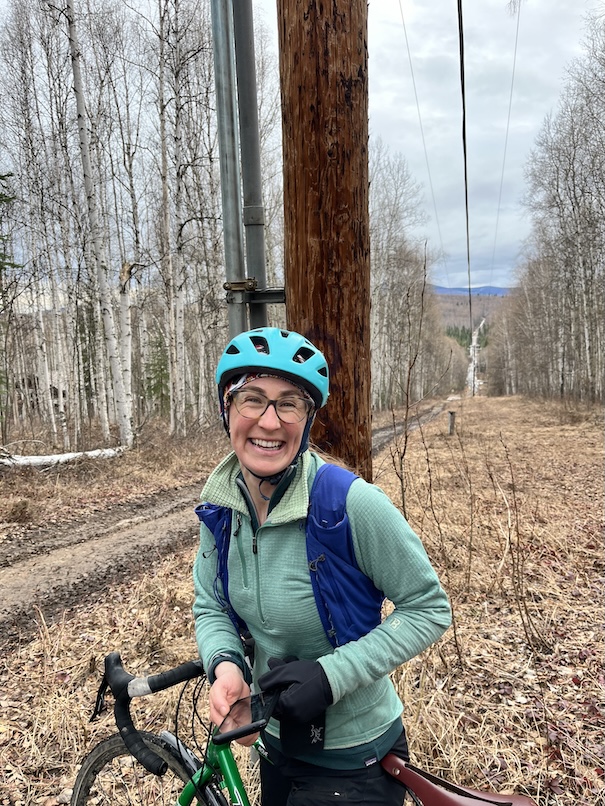
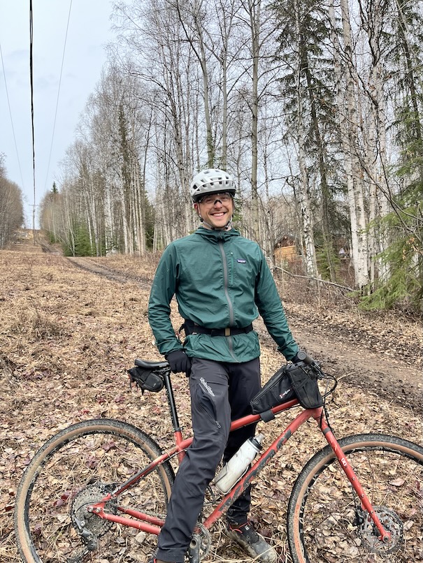
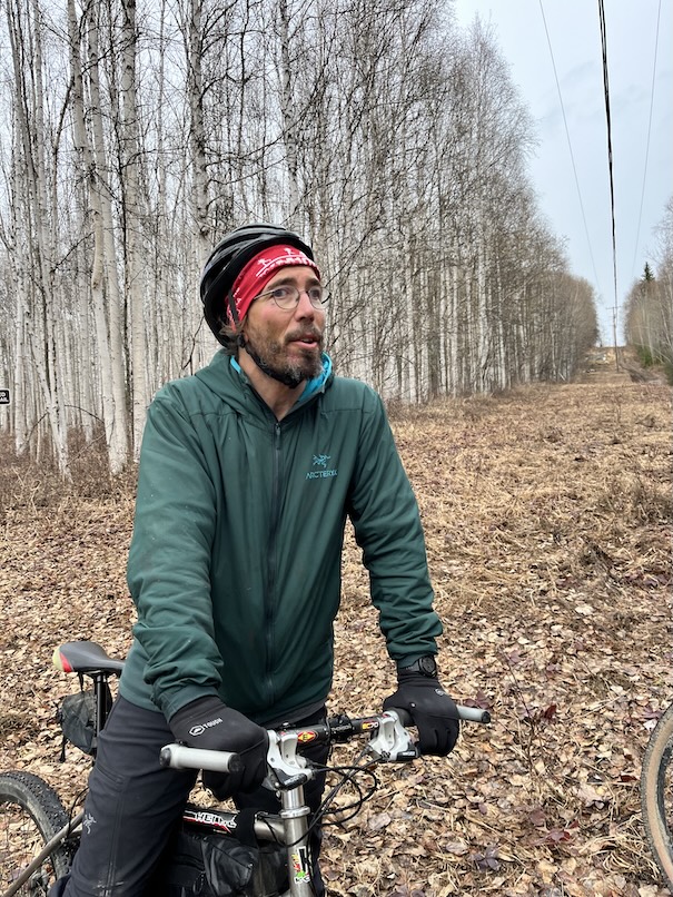
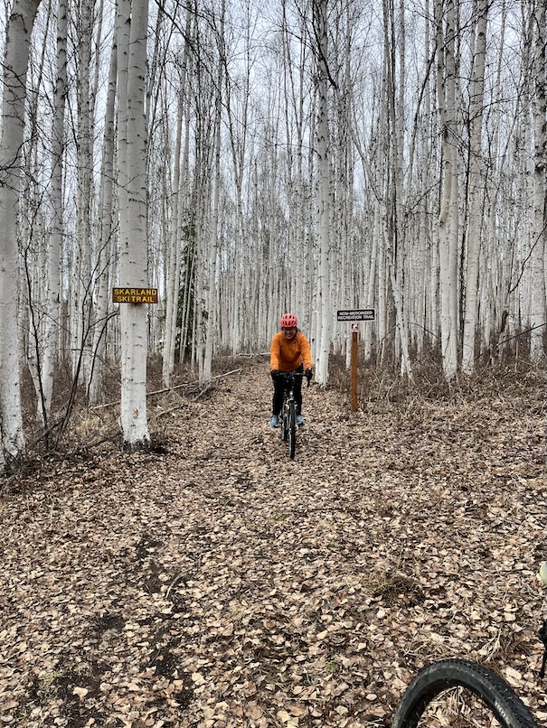
Maybe I advertised too much climbing…only Garrett and Dan joined me. We rode a bit faster than normal so we could justify the ice cream stop. Beautiful evening with a very brief rain shower and some fierce wind.
Pic by Travis
06/30/2025 – Chena Lake Rec Area and Much More
Report by Dan
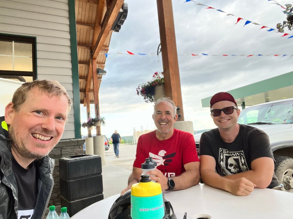
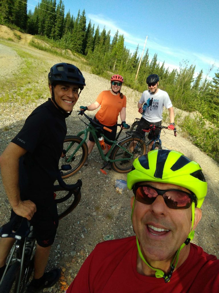
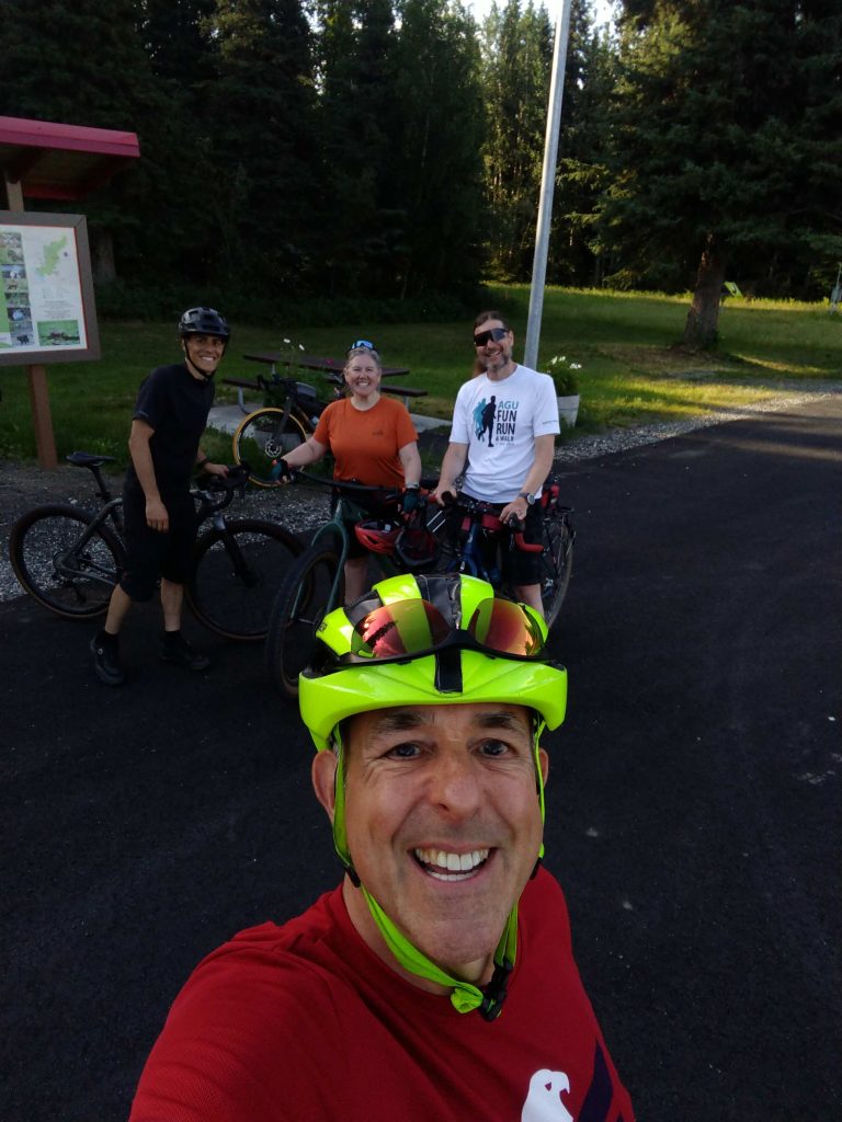
The weather was fantastic for the three brave souls who joined me for the Moderate Monday Gravel-ish Ride on the last day of June. I rode two miles from my home to the entrance parking lot of Chena Lake Recreation Area where I met Amy, Ken and Dave. We chatted a bit about bikes, weather, bugs and the route before embarking on our adventure.
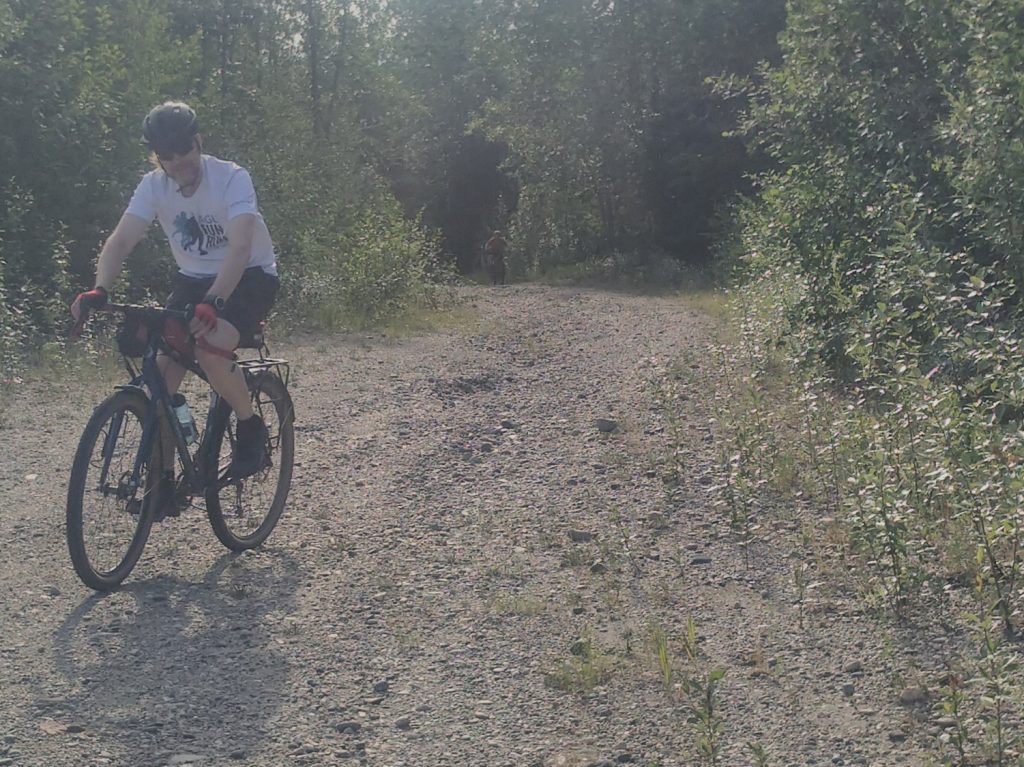
We ascended the loose, pit run gravel access to the top of the Moose Creek Dyke immediately after leaving the parking lot where we negotiated our way around the motorized vehicle barrier. We cycled along the top of the, surprisingly smooth-ish, dyke for about a mile-and-a-half to the access road to the Silt Blanket Parking Area where we had to negotiate the next motorized vehicle barrier. From there we descended to the park road and over the gravel that had been graciously loosened up and rutted by someone who had done “donuts” with, what I believe, was a highway vehicle. Then we traveled a short distance past the “Gate Shack,” turned left onto the Corps of Engineers Office Road and then immediately turned right onto the paved bike path, which, had no motorized vehicle barrier.
A mile or so later we passed through another motorized vehicle barrier, crossed Lake Park Road and turned left onto the bike path and past yet another motorized vehicle barrier, this one in the form of a large rock. Several hundred feet later we turned right onto a gravel loop of approximately 4 miles. This section of the ride is where we met and or passed a good number of folks out recreating. It was satisfying to see so many people, and dogs, running, hiking and cycling on this loop. Back at Lake Park Road we passed through a motorized vehicle barrier on either side of the road where we got back onto the paved bike path and headed to the Silt Blanket Parking area. Back over the loose rutted gravel, up the dry side of the dyke and down the potentially wet side of the dyke to the where we ascended to the paved parking lot.
Then, you guessed it, through another motorized vehicle barrier and onto the flat gravel road traversing the flood plain along the base of Moose Creek Bluff for about 2 miles. We made a left turn onto the Pipeline access road where we traveled about a quarter mile before hitting our climb up the cell tower access road. We climbed just under 100 feet over the course of approximately a half mile with a max grade of 10% to the switchback and took a break on the overlook where we munched on mini-muffins and mini-danishes that were left over and donated by the folks at the North Pole Triathlon. From there we made the push up to the top with a climb of 185 feet over the next half mile with a max grade of 11%. Once at the top we took a break and chatted about the trail system along the spur back down to the flood plain and around the base of the bluff. Rumor has it that you can access parts of Eielson AFB if you’re adventurous enough!!
The descent down the bluff was much appreciated after all the work to get to the top. A turn at the bottom back onto the pipeline access road and back to the flood plain we rode. A left turn onto the dirt road at the flood plain towards the Richardson Highway took us quickly to a gravel path directing us to the Sunflower Patch. Then it was a right turn along a grassy path back to the dyke access road. Under the gate, back down the loose gravel back to the Entrance Parking lot and we were back where we started.
In the end we traveled a little over 13-and-a-half miles in 90 minutes along the mostly gravel course with just under 500 feet of elevation. Judging from the smiles, I’d say this was a pretty good ride!
Photos by Dan
05/12/2025 - Silly Stop Sign Ride
Report by Eric
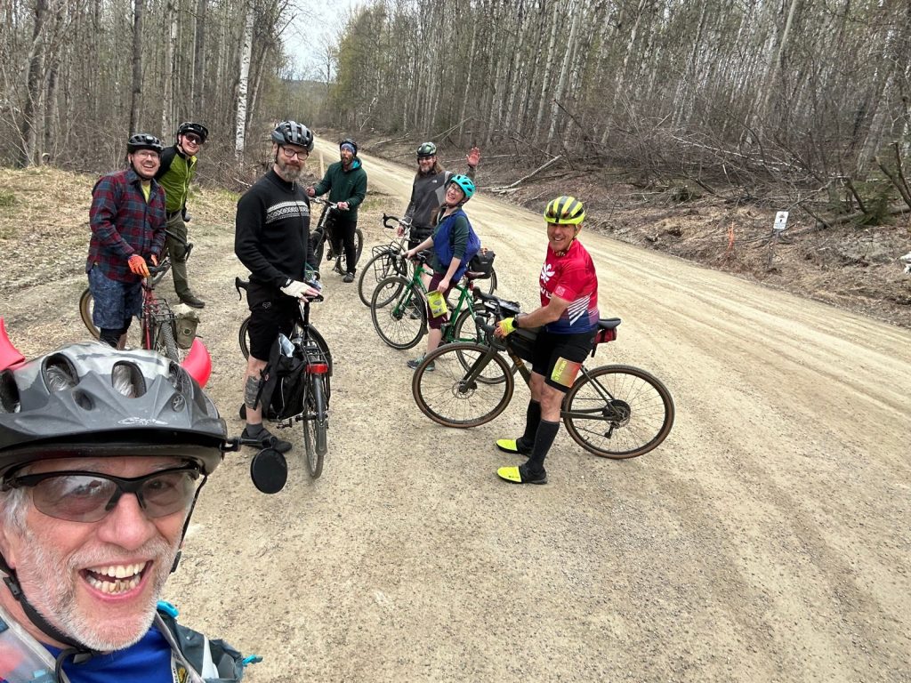
Travis had a nice route figured out for us. Our group of eight started at the UAF Nenana Parking Lot across the Patty Center and headed out the Sheep Creek Path, which is in good shape. A few puddles but mostly dry.
Then it was up to Ester Dome Road and on to St. Patrick. The latter road is a bit soft in places. In fact, Ken thought he might have a flat tire when we hit the first one. He slowed down and kept looking down at his tire until he figured it out!
We rode St. Patrick at a pretty good pace til we realized Ken had fallen back for some reason or another, so we moderated a bit. After all, these are no-drop Moderate Mondays, right? Ken quickly caught back up and that was the last time anyone fell off the pack. (Well, except for the downhills, but more about that in a minute.)
Travis called for a snack break at the St. Patrick-Henderson intersection. And -- oh my! -- the snacks that came out. Pistachio hearts, fun gummy treats covered with sprinkles, salted licorice! We stayed there a while enjoying the company and the treats.
Then we had a nice downhill on Henderson. The riders who like to rip, tucked and ripped! Yeehaw! (Watching for car traffic all the time, of course.) We got spread out but regrouped at the Henderson/Gold Hill intersection.
At Gold Hill Road, we turned right and then got on the Parks Highway bike/ped path. While riding that, we talked about how nicely the paths and road shoulders have been swept this year.
From there it's a fairly straight shot back to the start -- unless you're following Travis. First, he took us across the Parks onto Berton Road, then we followed Midway Placer and Vanwood Trail until we came to a place where the road took a hard left. And there it was: Fairbanks' Silliest Stop Sign. At least, according to Travis. Does anyone have another they think could compete? Maybe we should have a contest!
The ride to Fairbanks' Silliest Stop Sign was actually a side loop, kind of like a detour to the appendix. Though we could have taken a route to Little Shot Road that Travis promised would involve a lot of wet. Swamp-loving Eric was intrigued but we decided against it.
So, we dumped back out onto the Parks Highway path. And then it's a straight shot back to the start, right? Not if you're following Travis!
Instead we took a trail that connects the Parks to Gold Hill Road. A previous Moderate Mondays route had used this path but it was quite muddy then. Ken figured he would have to walk his mostly road bike, but the path had only one patch of wet. We looked back to see Ken pedaling hard up the trail!
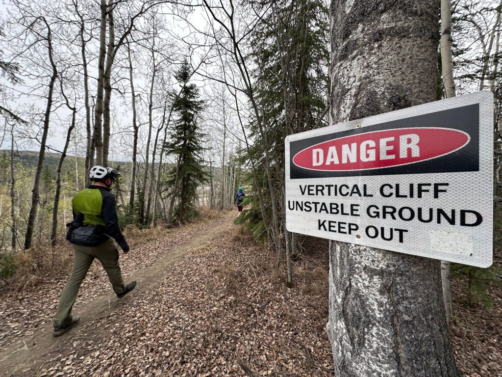
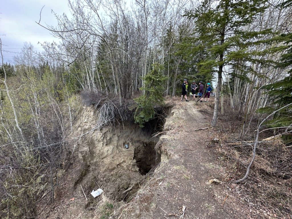
Travis took us to the overlook, which has a sketchy ladder that leads to a pit in the side of the hill. Several people suggested others investigate the pit, but no one took the bait. Instead, it was time for more snacks!
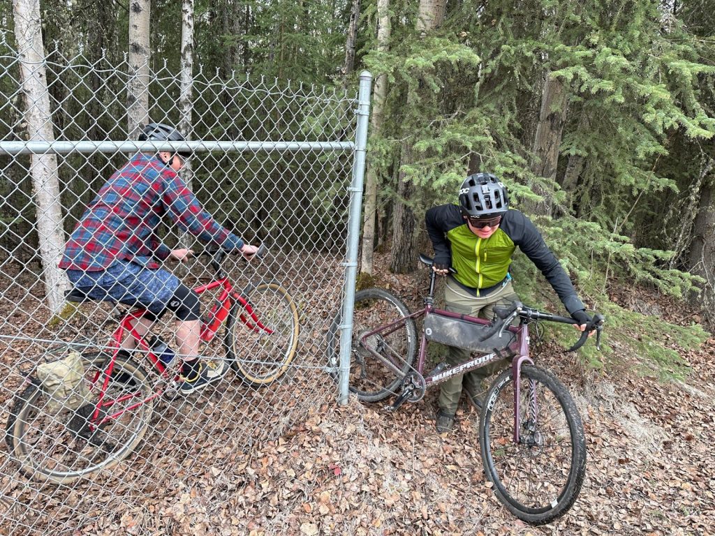
Finally, it was time to get back on the bikes. We followed one of the many paths from there to Gold Hill Road (which included a squeeze past a fence).
Gold Hill was rockin'. Low traffic and a nice shoulder for when traffic does come. We soon found ourselves back on the West Tanana Drive bike/ped path. Laura peeled off to go home and the rest of us headed back to the cars. A few of us biked to the start from their in-town homes and so still had some riding left to do. In the end, we were all smiling and refreshed from a great outing on bikes!
Pics by Eric
05/05/2025
Report by Travis
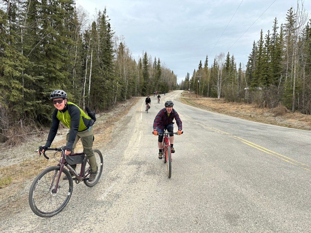
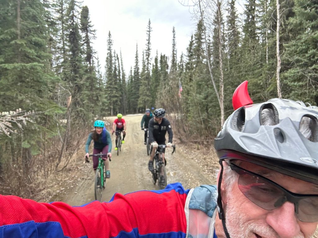
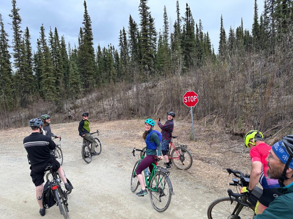
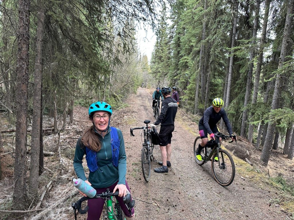
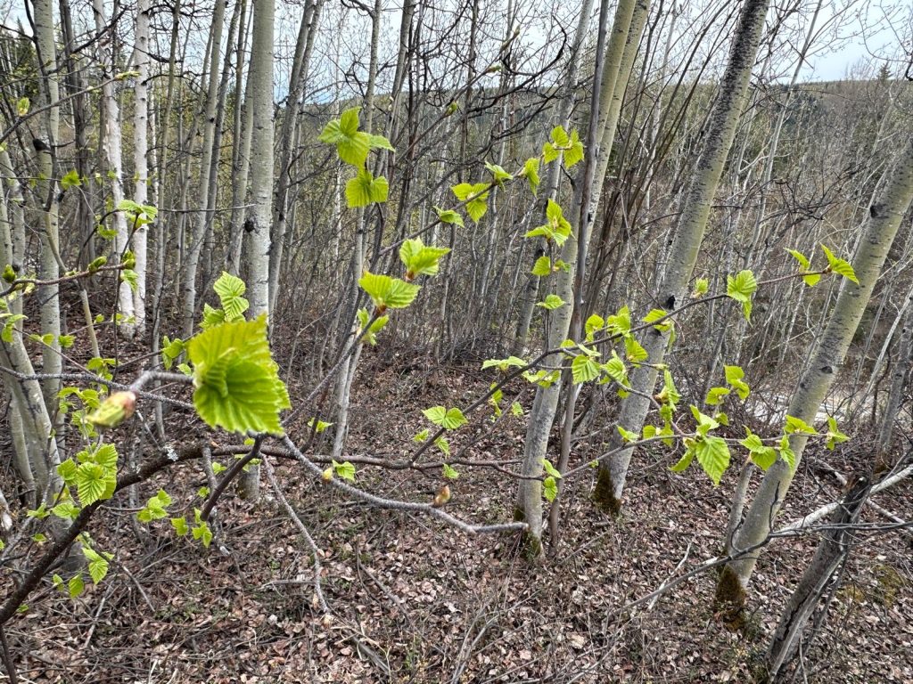
Our first Moderate Mondays of the season saw seven fun people loop around the neighborhoods surrounding UAF, including paved streets and paths, some nice gravel roads, a bit of muddy double track, and a couple hundred feet of rooty singletrack. Our group included Laura, Julian, Bret, Dean, Amy, Ken, and Travis.
We started out with a loop south of Geist and back up the Parks Highway path, a muddy shortcut, and back towards the University on Gold Hill road. Then a series of climbs up Miller Hill, Dalton Trail, and Red Fox. We decided to turn left and climb Wolverine before realizing we needed to use a section of the Skarland trail to connect to Auburn. Luckily the rooty singletrack section was short and not too slippery despite rain earlier in the day.
The group remained in good spirits despite this navigation error and we cruised back to UAF for another short loop behind the west ridge buildings before returning to our starting point near the SRC. The ride turned out to be about 16 miles in two hours with multiple stops for pistachios, gummy bears, conversation, and something called a Kendal mint bar.
Pics by Travis